China's sharp-eyed science satellite goes live
Updated: 2013-12-31 01:14
By Zhao Lei (China Daily)
|
||||||||
China's science community moved closer to its goal of a fully integrated system for making high-resolution observations of the Earth's surface from space on Monday, as the first satellite of that system was officially put into operation.
The activation of the Gaofen-1 satellite marks a milestone in a program that will substantially improve the nation's capabilities in disaster relief, surveying and environmental protection, the State Administration of Science, Technology and Industry for National Defense, which oversees the program, said in a statement.
The administration said the satellite is able to obtain high-resolution data over vast swaths of land, noting it will take only four days to map the entire globe.
Gaofen-1 was sent into space aboard a Long March-2D rocket from Jiuquan Satellite Launch Center in Gansu province on April 26. After entering orbit, it underwent eight months of trial operation and tests. Now it's live.
Developed by the China Academy of Space Technology, Gaofen-1 will be followed by another four or five satellites before the end of 2016 to form the high-definition Earth observation system — among China's 16 most important national projects in science and technology.
The satellite is equipped with a 2-meter-resolution, charge-coupled camera, an 8-meter multispectrum imager, and four 16-meter, wide-field multispectrum imagers. The equipment enables the satellite to take a clear picture of a single automobile on the surface.
Major users of the Gaofen-1 are the ministries of land and resources, environmental protection and agriculture. Another 15 central departments also signed agreements allowing them to access satellite information.
"Compared with other remote-sensing satellites, Gaofen-1 has greater capabilities in terms of Earth surveys and can significantly improve our nation's performance in this field,” said Wang Chengwen, deputy commander of the Gaofen-1 project.
By improving the precision and timeliness of data, the satellite could play an important role in disaster relief in a country hit often by earthquakes, floods and other natural calamities.
During its shakedown period after entering orbit, the satellite helped assess the status of deserts in the Aibi Lake area, in the Xinjiang Uygur autonomous region; provided relief workers with high-resolution photos of places affected by the magnitude-6.6 quake that shook Gansu province in July; and recorded the record-breaking floods that hit Heilongjiang province in August, according to Wang.
"Using Gaofen-1, we could obtain information of the flooded areas in a timely and precise manner,” said Yang Guangyuan, deputy director of Heilongjiang provincial bureau of water resources. "It provided pictures with accurate coordinates for each place, and it updated very quickly.”
In addition, at the request of the Asia-Pacific Space Cooperation Organization, the satellite helped Pakistani authorities see areas hit by a magnitude-7.7 earthquake on Sept 24.
The satellite can help improve land-resource surveying, environmental monitoring, geographical and oceanic mapping as well as provide support to precision agriculture.
"With the assistance of satellite surveys, we found that the total area of China's wetlands has decreased by 33 percent over the past 30 years. Next, we will use Gaofen-1 to analyze the reasons for the changes,” Yang said.
The project to set up a high-resolution Earth observation system received government approval and was launched in 2010.
China intends to establish an extremely precise Earth observation system integrated with other measures for a complete observation system that works in all weather at all hours of the day and across the globe.
There are more than 50 countries that own or operate Earth observation satellites, and the data they collect is used for economic and social activities and in scientific research.
zhaolei@chinadaily.com.cn
 Police probe fire attack on Chinese consulate
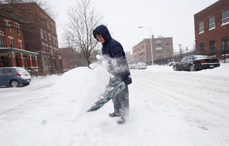 Powerful storm brings Arctic cold, snow to US Northeast
 Beijing sees little improvement in air quality in 2013
 125th Rose Parade celebrated in US
 Cold doesn't dissuade 'Polar Bear Swimmers'
 First photos of Liaoning battle group made public
 US First Family out for shave ice in Hawaii
 New Year's Eve celebrations in Times Square
Most Viewed
Editor's Picks

|

|

|

|

|

|
Today's Top News
FBI Investigates fire at Chinese Consulate
Snowstorm pushes into US Northeast
Smog may affect mental health
Chinese helicopter saves 52
Bill de Blasio: New York “won’t wait” to tackle inequality
Kim seeks ROK ties, warns US of nuclear 'disaster'
NGO sends SOS on funding
Strong China-US trade and investment links
US Weekly

|

|