How to calculate the distance the Long March covered?
Updated: 2016-08-04 13:13
By Jin Dan(chinadaily.com.cn)
|
||||||||
 |
|
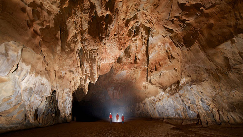
A photo of the perennially snow-capped Jiajin Mountain taken on Aug 12, 2003. [Photo/IC] |
Meanwhile, other factors cannot be ignored in the calculation.
First, what the Red Army launched was a mobile warfare. They had to make detours and repetitive moves. The case of the 37th regiment of the Fifth Corps during Red Army's successful attempt of traversing the perennially snow-capped Jiajin Mountain and then climbing it again is an example.
It was in June 1935 when the regiment had already reached the other side of the mountain that it was ordered to climb back again to cover the main forces of the Central Army and block the shadowing enemy's attack.
Second, the Red Army had to raise fund and introduce themselves to the local people who had not heard of them. To do that, the soldiers had to walk many miles to meet the locals. According to Xiao Feng's dairy dated Nov 11, 1934, he was responsible for recruiting more soldiers and raising money when the army was recuperating in Baishidu county in Hubei province. On that day, he himself had walked for 65 li.
Third, during the Long March, particularly in its early stage, the Red Army frequently took the wrong route due to lack of maps. One case was recorded in Chen Bojun's diary on Dec 8, 1934, indicating that the 38th regiment was lost in wrong direction.
- Fire guts Emirates jet after hard landing; 1 firefighter dies
- Egypt's Nobel-laureate scientist dies of illness in US
- THAAD muscle flexing unmasks anxiety over declining hegemony
- British police say mental health a significant factor in London knife attack
- Paragliding fans fly over Rigi mountain in Switzerland
- DPRK fires 1 ballistic missile into east waters

 After Typhoon Nida, torrential rain hits S. China
 World's fastest bullet train to start operating next month
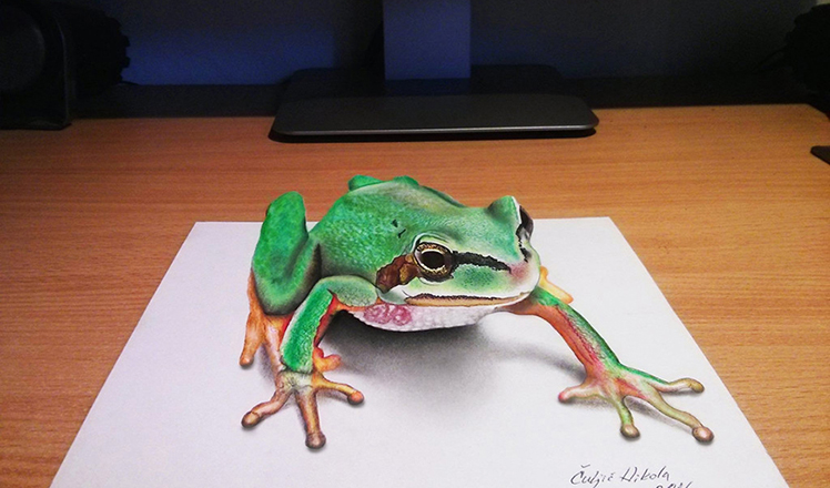 Serbian artist creates incredible 3-D art
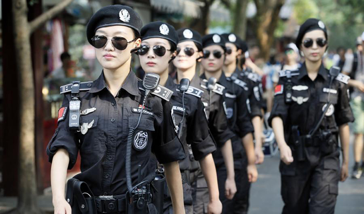 Glimpse into the work and life of G20 guards
 Shopping and throwing Frisbee in virtual reality
 Take a closer look at the life in Rio Olympic Village
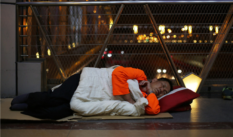 From dusk to dawn: The other side of Beijing
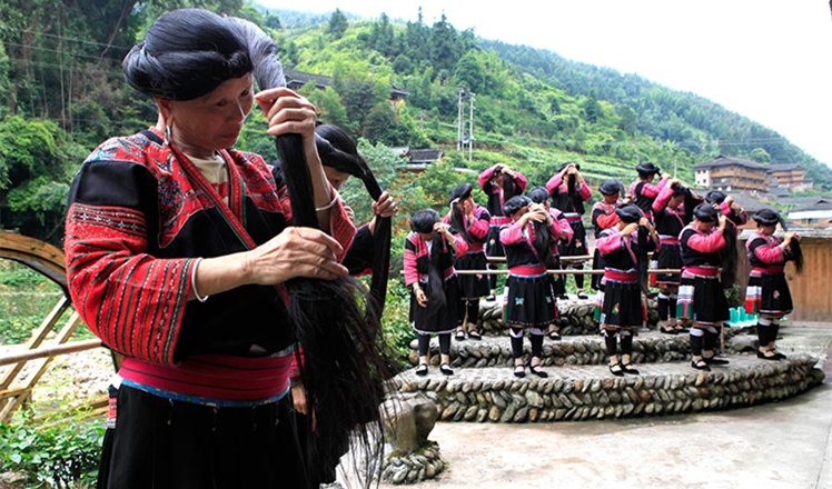 Huangluo: China's 'long hair village'
Most Viewed
Editor's Picks

|

|
|

|
|

|
Today's Top News
US launches airstrikes against IS targets in Libya's Sirte
Ministry slams US-Korean THAAD deployment
Two police officers shot at protest in Dallas
Abe's blame game reveals his policies failing to get results
Ending wildlife trafficking must be policy priority in Asia
Effects of supply-side reform take time to be seen
Chinese State Councilor Yang Jiechi to meet Kerry
Chinese stocks surge on back of MSCI rumors
US Weekly

|

|