China plans Diaoyu Islands mapping
Updated: 2013-01-15 14:58
(Xinhua)
|
||||||||
BEIJING - China is to survey the Diaoyu Islands in the East China Sea as part of a program of mapping its territorial islands and reefs, it was revealed on Tuesday.
The first stage of the island surveying and mapping was launched in 2009 and has finished the monitoring of islands located within 100 km of the coastline, according to a document issued at a press conference held by the National Administration of Surveying, Mapping and Geoinformation.
The second stage will cover islands including the Diaoyu Islands, the document said.
It added that this program is part of the country's efforts to safeguard its maritime rights and interests.
As of the end of last year, China has completed the identifying and precise positioning of about 6,400 islands and more than 4,900 island maps of three different scales.
Related readings:
China monitoring Japan's encroachment on Diaoyu
China doesn't accept Japan's Diaoyu protests: FM
Chinese surveillance vessels patrolling Diaoyu Islands
China on guard against Japanese jets near Diaoyu
China defends sovereignty of airspace over Diaoyu

 Li Na on Time cover, makes influential 100 list
 FBI releases photos of 2 Boston bombings suspects
 World's wackiest hairstyles
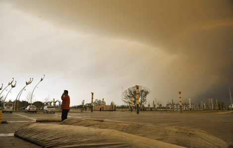 Sandstorms strike Northwest China
 Never-seen photos of Madonna on display
 H7N9 outbreak linked to waterfowl migration
 Dozens feared dead in Texas plant blast
 Venezuelan court rules out manual votes counting
Most Viewed
Editor's Picks

|

|

|

|

|

|
Today's Top News
Boston bombing suspect reported cornered on boat
7.0-magnitude quake hits Sichuan
Cross-talk artist helps to spread the word
'Green' awareness levels drop in Beijing
Palace Museum spruces up
First couple on Time's list of most influential
H7N9 flu transmission studied
Trading channels 'need to broaden'
US Weekly

|

|