Beidou helps put region on the map
Updated: 2012-12-28 07:25
By Xin Dingding and Cheng Yingqi (China Daily)
|
||||||||
Homegrown navigation network launched for civilians in Asia-Pacific
The Beidou navigation system began providing services for civilians in the Asia-Pacific region on Thursday.
After going through a one-year trial operation and adding six more satellites in 2012, Beidou, in terms of performance, is "comparable" to the United States' GPS, Ran Chengqi, spokesman for the China Satellite Navigation Office, told a news conference on Thursday.
Beidou, which means compass, now has a constellation of 16 navigation satellites and four experimental satellites.
"Signals from Beidou can be received in countries such as Australia," Ran said.
Its positioning accuracy has also improved, from 25 meters horizontally and 30 meters vertically at the beginning of the trial operation to the current 10 meters both horizontally and vertically, he said.
But in a GPS-dominated market, Beidou needs enterprises to participate in the development of applications for the system. A number of foreign companies have already shown an interest.
Its website (www.beidou.gov.cn) ran both Chinese and English versions of a document that specifies signal-interface relations between the Beidou system and receivers.
Cao Hongjie, vice-president of Beijing UniStrong Science and Technology, which makes navigational products, said the publishing of the document means "domestic companies that have tried to develop Beidou applications for almost a decade will now face competition with foreign companies".
"Many US companies have been waiting for the document," he said.
Some sent e-mails saying they will soon come up with products that are compatible with the Beidou system, once the document was published.
"China is a big market for navigation products, which is attractive to them," he said.
The total output of China's navigation service sector will top 120 billion yuan ($19.2 billion) in 2012, and is estimated to reach 500 billion yuan in 2020.
Cao said he believed that domestic companies may struggle to compete with US counterparts in the pricing of navigation products and will lose majority market share to foreign products in the short term.
"But Beidou-based industries cannot grow really big without the participation of foreign players," he said. "When this market becomes really big, domestic companies, even with a small share, will also benefit."
GPS is the dominant player, but Ran estimated that the Beidou system will hold 15 to 20 percent of market share in China by 2015.
Users will probably opt for equipment that is compatible with multiple navigation systems and will no longer rely on a single service, Ran said. If this occurs, Beidou could take 70 to 80 percent of the market by 2020, he added.
The system will eventually provide navigation, positioning and timing services that cover the world, Ran said.
He cited industry research claiming that the global satellite navigation industry is estimated to be worth $500 billion by 2020.
Though there is no plan to launch Beidou satellites next year, China will launch about 40 Beidou satellites in the 10 years from 2014, he said.
Yang Hui, chief designer of Beidou navigation satellites, said the satellites will have a longer lifespan and other improvements.
"The current navigation satellite has a life of eight years, and we will increase it to 12 in the next phase," she said.
There are four major global navigation systems: Beidou, GPS, Russia's Glonass and the European Union's Galileo.
China launched the first Beidou navigation experiment satellite in 2000. Four experiment satellites were launched between 2000 and February 2007.
The preliminary version of the system has been used in traffic control, weather forecasting and disaster relief on a trial basis since 2003. Starting 2007, China launched 16 navigation satellites.
Contact the writers at xindingding@chinadaily.com.cn and chengyinqi@chinadaily.com.cn
(China Daily 12/28/2012 page1)
 Relief reaches isolated village
 Rainfall poses new threats to quake-hit region
 Funerals begin for Boston bombing victims
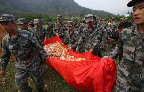 Quake takeaway from China's Air Force
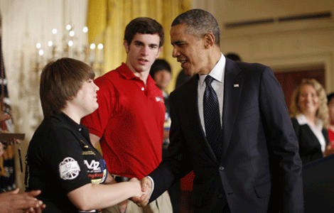 Obama celebrates young inventors at science fair
 Earth Day marked around the world
 Volunteer team helping students find sense of normalcy
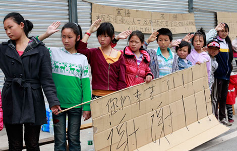 Ethnic groups quick to join rescue efforts
Most Viewed
Editor's Picks
|
|

|

|

|

|
Today's Top News
Health new priority for quake zone
Xi meets US top military officer
Japan's boats driven out of Diaoyu
China mulls online shopping legislation
Bird flu death toll rises to 22
Putin appoints new ambassador to China
Japanese ships blocked from Diaoyu Islands
Inspired by Guan, more Chinese pick up golf
US Weekly

|

|