Hurricane warning for parts of Florida as Hermine strengthens
Updated: 2016-09-02 00:46
(Agency)
|
|||||||||
TAMPA, Fla., Sept 1 - Tropical Storm Hermine picked up strength and was expected to be a hurricane when it reached Florida's north Gulf Coast on Thursday evening, bringing heavy rains and high winds that forecasters warned could cause catastrophic flooding.
With as much as 20 inches (51 cm) of rain expected, schools in several Florida coastal counties were closed on Thursday and some low-lying areas already have seen floods from Hermine. After battering the coast, the storm is expected to move across the northern part of the state and then barrel toward southern U.S. coastal regions on the Atlantic.
"Take this storm seriously," said Bryan Koon, director of the Florida Division of Emergency Management.
Governor Rick Scott has declared a state of emergency to free up state resources to battle the storm, with 49 of Florida's 67 counties covered by the declaration.
As of 8 a.m. EDT (1200 GMT), the storm was about 195 miles off the Florida coast and packing maximum sustained winds of 65 mph (100 kph). In addition to heavy rains, it was expected to cause isolated tornadoes and bring storm surges of up to 6 feet (1.8 meters), the National Hurricane Center in Miami said.
"There is a danger of life-threatening inundation within the next 36 hours along the Gulf coast of Florida," it said.
Large parts of Florida's panhandle coast were under a hurricane warning, while flash flood watches stretched from Florida into South Carolina.
On its current path, the storm also could dump as much as 10 inches (25 cm) of rain on coastal areas of Georgia, which was under a tropical storm watch, and the Carolinas.
Georgia Governor Nathan Deal on Thursday signed an executive order declaring a state of emergency for 56 counties that extends through midnight on Saturday.
A tropical storm warning also was issued for the U.S. East Coast from Marineland, Florida, to South Santee River, South Carolina, the National Hurricane Center said.
U.S. oil and gas producers removed workers from 10 offshore platforms in the eastern part of the Gulf of Mexico, moved drilling rigs and shut some output because of the storm.
As of Thursday morning, the storm had not caused any major disruption to U.S. air travel, according to tracking service FlightAware.com.
The hurricane center also said in an advisory that another storm, Hurricane Gaston, will move near the Azores on Friday.
In the Pacific, Hurricane Madeline weakened to a tropical storm as it passed south of Hawaii's Big Island, where officials had opened shelters and shuttered offices and schools on Wednesday.
Before the tropical storm moves westward out of reach of Hawaii, it is expected to dump as much as 15 inches (40 cm) of rain on parts of the Big Island, the National Weather Service said.
Hurricane Lester, currently a major Category 4 storm, could affect Hawaii during the weekend.
Hawaii Governor David Ige signed an emergency proclamation freeing up state resources which runs through Sept. 9.

- Record number of Americans dislike Hillary Clinton: poll
- Mexico contradicts Trump on paying for border wall, clouding visit
- First direct commercial flight from US in over 50 years arrives in Cuba
- Typhoon kills 9 in Japan's old people's home as toll hits 11
- Brazil leader's impeachment trial enters final stretch
- 94th anniv. of Victory Day marked in Turkey

 Korean ethnic dance drama shines in Beijing
 Children explore science and technology at museum
 Children wearing Hanfu attend writing ceremony
 73rd Venice Film Festival opens in Italy
 'World's most dangerous village' draws visitors
 Chinese female pilots fly fighter-bomber JH-7
 African trainees learn lion dance in NE China's Dalian
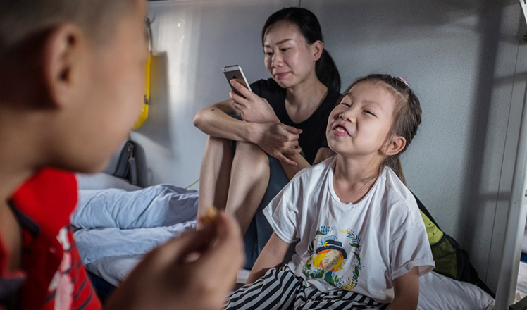 Left-behind children back to hometown after spending summer with family
Most Viewed
Editor's Picks

|

|
|

|

|

|
Today's Top News
Trump outlines anti-terror plan, proposing extreme vetting for immigrants
Phelps puts spotlight on cupping
US launches airstrikes against IS targets in Libya's Sirte
Ministry slams US-Korean THAAD deployment
Two police officers shot at protest in Dallas
Abe's blame game reveals his policies failing to get results
Ending wildlife trafficking must be policy priority in Asia
Effects of supply-side reform take time to be seen
US Weekly

|

|