Releasing Diaoyu Islands geographic codes significant
Updated: 2012-09-16 15:52
(Xinhua)
|
||||||||
BEIJING - Releasing the geographic coordinates of Diaoyu Island and its affiliated islets marks China's latest move to affirm its sovereignty and administrative jurisdiction over the islands, according to a maritime expert.
China has had the islands under continuous surveillance for a long time, said Jia Yu, vice-director of the China Institute for Marine Affairs attached to the State Oceanic Administration (SOA), in an interview with Xinhua on Saturday.
The SOA announced the exact longitude and latitude of Diaoyu Island and 70 of its affiliated islets while publishing location maps, three-dimension effect graphs and sketch maps for the islands on Saturday.
Since 2009, the SOA carried out a general survey of all Chinese islands, including the Diaoyu Islands, and announced their standard names and locations in March, Jia said.
"Diaoyu Islands and its affiliated islets have been an inherent part of Chinese territory since ancient times and China has indisputable sovereignty over the islands," Jia said.
Announcing the geographic codes is an important step for the country to exercise its administrative jurisdiction over the islands, he said.
"Only the sovereign state and its government can do that and no other nation, organization or individual has the right to do it. Even if they did, the announcement would be invalid," he said.
The move also aims to help the public learn about the islands more vividly through the location maps, three-dimension effect graphs and sketch maps, provided that it remains difficult for the general public to visit the islands, Jia said.
"Through these documents, the country will conduct better surveillance and protection over the islands for future development," Jia added.
On Monday, the Chinese government announced the base points and baselines of the territorial waters of Diaoyu Islands and its affiliated islets, as well as the names and coordinates of 17 base points.
Also on Thursday, China's permanent representative to the United Nations Li Baodong met with UN Secretary-General Ban Ki-moon and filed a copy of the Chinese government's Diaoyu Islands baseline announcement with the United Nations.
"The two sets of coordinates are meant to maintain China's sovereignty over the land as well as its adjacent waters," Jia said.

 Relief reaches isolated village
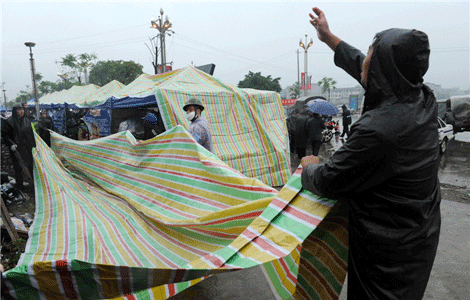 Rainfall poses new threats to quake-hit region
 Funerals begin for Boston bombing victims
 Quake takeaway from China's Air Force
 Obama celebrates young inventors at science fair
 Earth Day marked around the world
 Volunteer team helping students find sense of normalcy
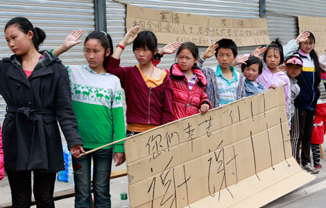 Ethnic groups quick to join rescue efforts
Most Viewed
Editor's Picks

|
|

|

|

|

|
Today's Top News
Health new priority for quake zone
Xi meets US top military officer
Japan's boats driven out of Diaoyu
China mulls online shopping legislation
Bird flu death toll rises to 22
Putin appoints new ambassador to China
Japanese ships blocked from Diaoyu Islands
Inspired by Guan, more Chinese pick up golf
US Weekly

|

|